

10 km • Moderate • Stunning river and Lake Superior views
Experience the beauty of the Nipigon River and Nipigon Bay on this well-maintained, rugged wilderness trail connecting the marinas in Nipigon and Red Rock. Suitable for most hikers aged 8+ (depending on ability), this 10 km route takes about 3–4 hours to complete and showcases some of the best shoreline views on Lake Superior—the world’s largest freshwater lake.
Starting from Nipigon, the trail follows the river’s edge to Sawmill Point, offering easy walking and incredible wildlife viewing. Bald eagles, blue herons, peregrine falcons, pelicans, waterfowl, beaver, otter, deer, and moose are often seen throughout the seasons. In winter, wolves and foxes can sometimes be spotted on the frozen river.
Trail Sections
Wetlands Trail (1.7 km)
A gentle gravel path beside the river and marshlands—perfect for spotting waterfowl and wildlife.
Sawmill Point Trail (0.8 km)
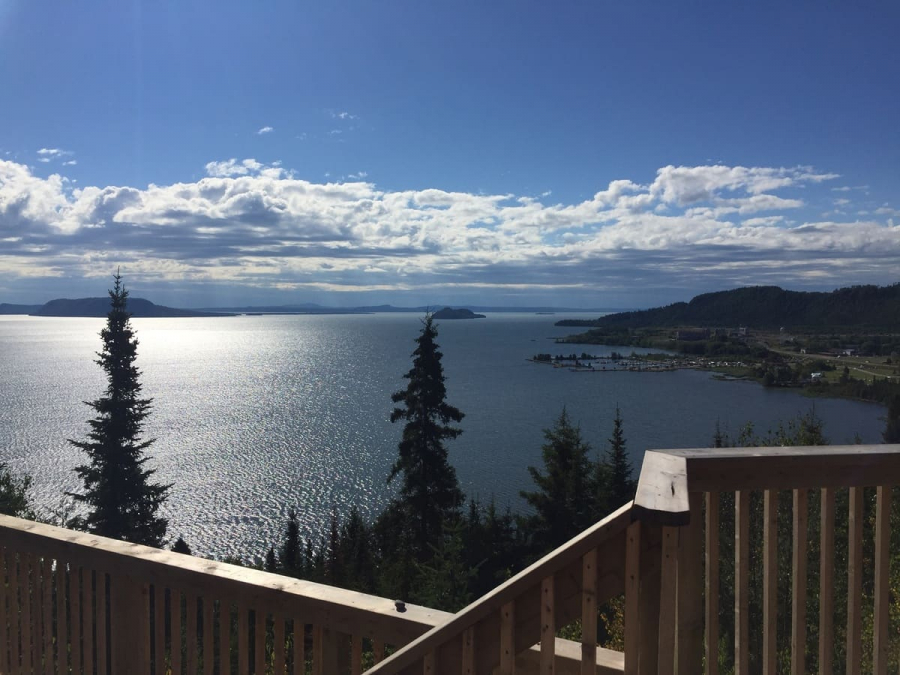
Easy lakeshore walking with views of the mouth of Nipigon Bay and the Town of Red Rock.
Stillwater Creek Trail (1 km)
A quiet stretch along the shoreline and through mixed forest, ending at the crystal-clear creek.
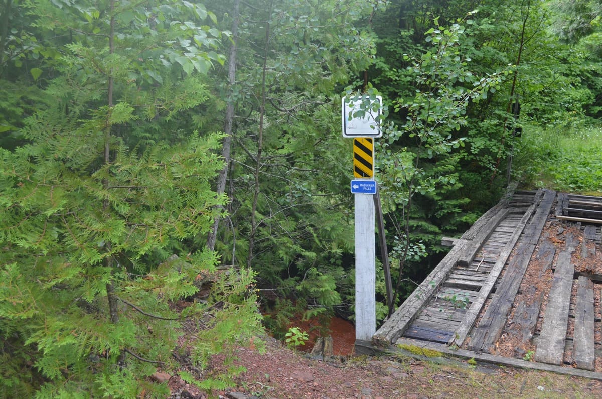
Hydro Corridor Trail (1.4 km)
A challenging woodland trail followed by a steep climb along the hydro line. Aided by ropes and steps, hikers reach Eagle Ridge—one of the most spectacular lookouts over Nipigon Bay and its islands. Eagle Ridge can also be reached more easily via the Woodland Trail.
Woodland Trail (2 km)
A rugged, forested route with occasional steep climbs and ravines. The reward is the same breathtaking Eagle Ridge viewpoint.
Hiking Tips
-
Hiking the full trail is generally easier starting from the Red Rock end.
-
Arrange a ride or shuttle if hiking one way. A local shuttle is available at 807-887-1008.
-
Bring plenty of water, snacks, and a cell phone.
Shorter Options
If you’re short on time:
From Red Rock, take a 40-minute (2.6 km return) hike to Lloyd’s Lookout, then continue a few minutes to the Parks Canada red chairs.
From Nipigon, enjoy 2–3 km of flat shoreline trail along the edge of the Nipigon River.
Nipigon River Recreation Trail Map
Read more about the Nipigon River Recreation Trail in the Exploring the Edge blog.